

The story of the mosier-rowena super g is one of dumb persistence, monomania and a route never finished. three times we tried and three times we were rebuffed. however, slowly but surely a solid route began to emerge!


Initially hatched as an idea to climb Godberson to the intersection w/ upper Indian Creek/Mosier Creek and roll back down Mosier Creek from there and like so many other exploratory routes, it looked great on paper. Unfortunately persistent snow made anything above 2000 ft inaccessible on the first two occasions, and on the third we pushed past a private property gate only to descend 1000 ft to a rather prickly cabin scene where a bridge washout and a reluctant acceptance to pull the plug forced us to make the climb of shame back out the way we came.
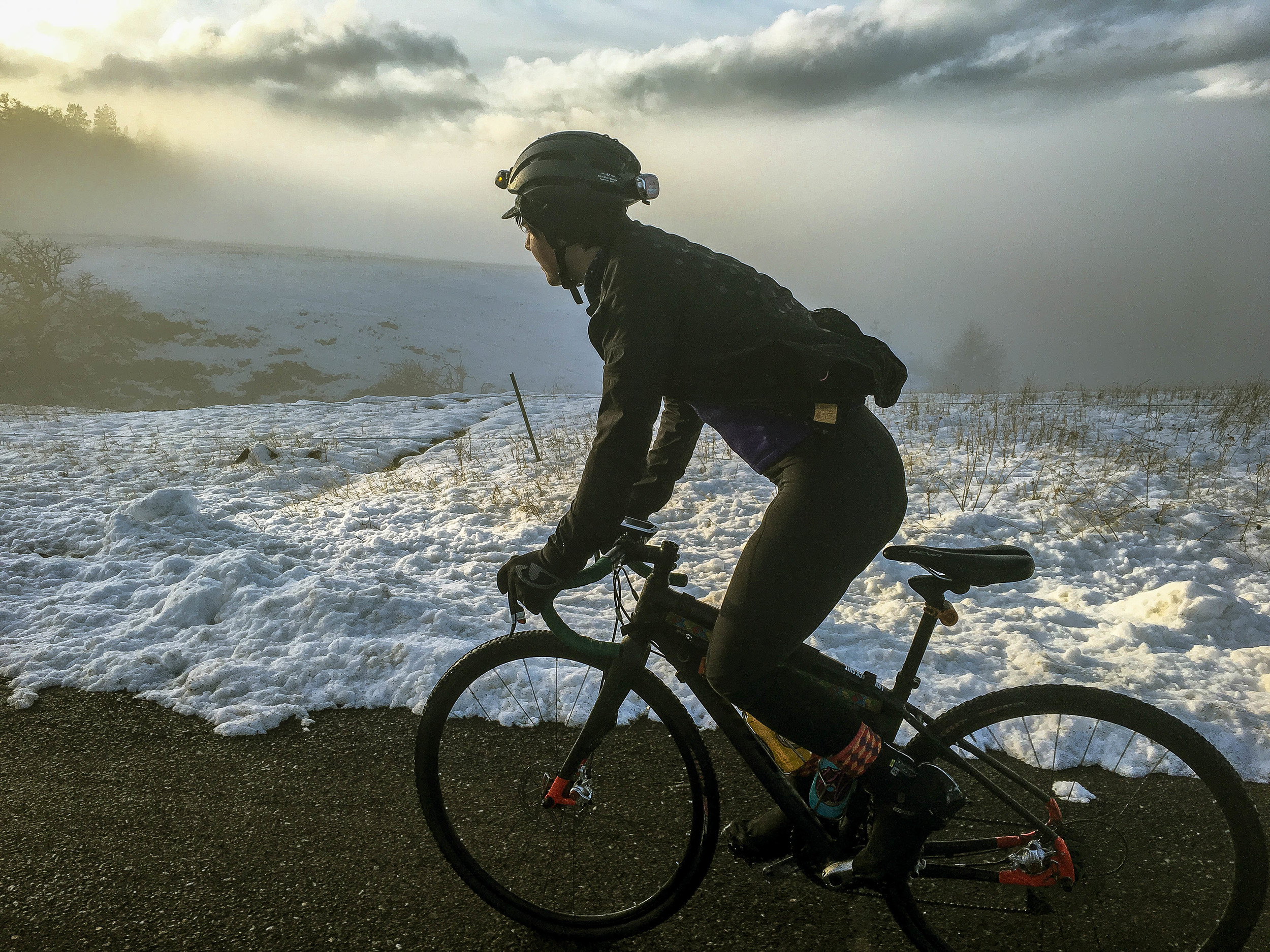
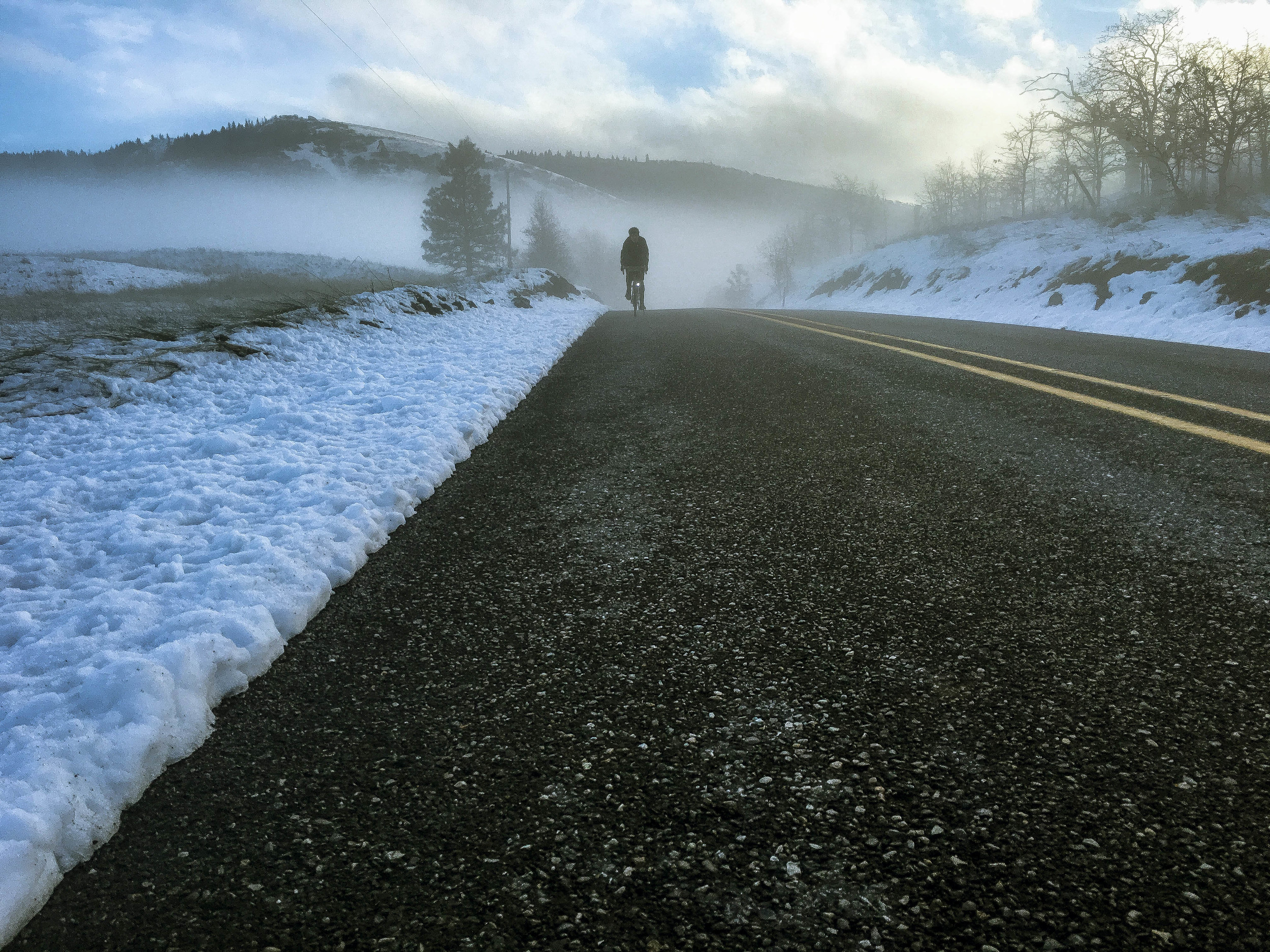
On three occasions we shrug, turn around and descend Godberson to lower Mosier Creek road and approach it from the other side, climbing to Digger road before realizing that it's actually the best way to do it. In the colder months, mists hug the lowland valleys and hollows, giving each rise a unique vantage point on this pastoral landscape.

Digger road climbs for one mile before merging with Carroll, ripping a short bit of paved downness before kicking a right turn onto Behrn and returning to gravel farm roads (impeccably maintained I might add) for the rest of the fast and furious descent to Dry Creek. From here we climb Dry Creek, savoring the scenery everyone misses while pounding this section in a blind hellhammer of fury on the Gorge Roubaix.
Taking a right onto Osborn Cutoff keeps the gravel train winding and climbing through craggy rolling hills leading to Vensel road, a spirited and spectacular road in either direction, but for our purposes here, we'll call it a punchy climb. 13.6% in spots. But those views....right? The sightlines down the valley to the west are easily worth the climb. From here Vensel intersects upper Chenoweth and Ketchum roads. See the Dirty Ketchum and Mosier Mayhem pages for more detail on the Ketchum road area.


While we have found it is quite possible and perhaps a bit more fun to descend Chenoweth in the snow, I'd recommend waiting until it is clear. Even then it can be somewhat harrowing in the steeper sections. Chenoweth rolls back down into the north end of The Dalles where there are ample opportunities to grab a snack and refill water bottles before heading north on the Historic Highway 30 up into Rowena Crest.
The Rowena Loops are always a treat as Historic Highway 30 twists and turns climbing the horseshoe curves through Mayer State Park up to the Rowena Crest viewpoint. From Rowena Crest, Highway 30 dips and dives west through 6 more miles of classic Columbia River Gorge views that are nothing short of epic, winding up in Mosier once again.


38 MILES
3733 FEET
ROUTE FORMAT: LOOP
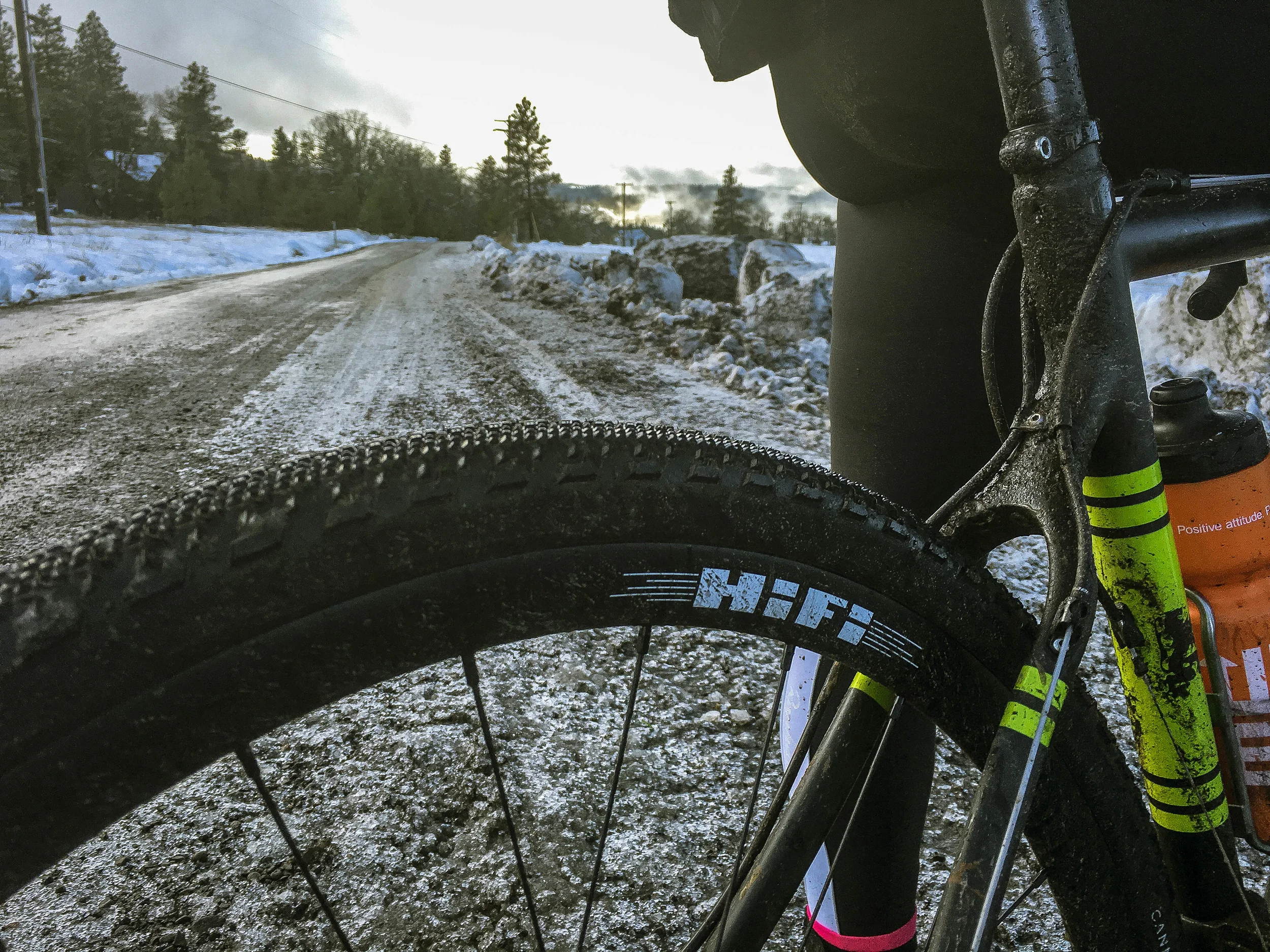
SURFACE: 50% smooth GRAVEL, 50% paved tarmac
TIRES: 28C-38C CROSS/FILETREAD.
BIKE: road/CYCLOCROSS
FULL RIDE WITH GPS ROUTE + GPX FILE
Terms of Use: As with each adventure route guide published on OMTM.CC, should you choose to cycle this route, do so at your own risk. Prior to setting out check current local weather, conditions, and land/road closures. While riding, obey all public and private land use restrictions and rules, carry proper safety and navigational equipment, and of course, follow the #leavenotrace guidelines. The information found herein is simply a planning resource to be used as a point of inspiration in conjunction with your own due-diligence. In spite of the fact that this route, associated GPS track (GPX and maps), and all route guidelines were prepared under diligent research by the specified contributor and/or contributors, the accuracy of such and judgement of the author is not guaranteed. OMTM.CC, its partners, associates, and contributors are in no way liable for personal injury, damage to personal property, or any other such situation that might happen to individual riders cycling or following this route.